
Written October 1, 2013
It’s a regular flight for me. But I never get tired of studying the route. The route is described by what it takes me over. But the terrain never changes. The air, however, does. And that’s what makes every trip a little or a lot different. If you draw a line on a map which runs from Sisters, Oregon to Medford, Oregon, you’d have the general route. But first you’d have to bend that line just to make the trip safer. You’d want to
bend it so that you’d have more places to go in the event of an engine failure. So, instead of going directly, a track which would take you right over the Three Sisters and then over some fairly hostile mountainous terrain, you’d want to fly to a place like Sunriver first before gradually veering back on course.
That’s what I usually do. Then I fly over Wickiup Reservoir, past Diamond Lake and
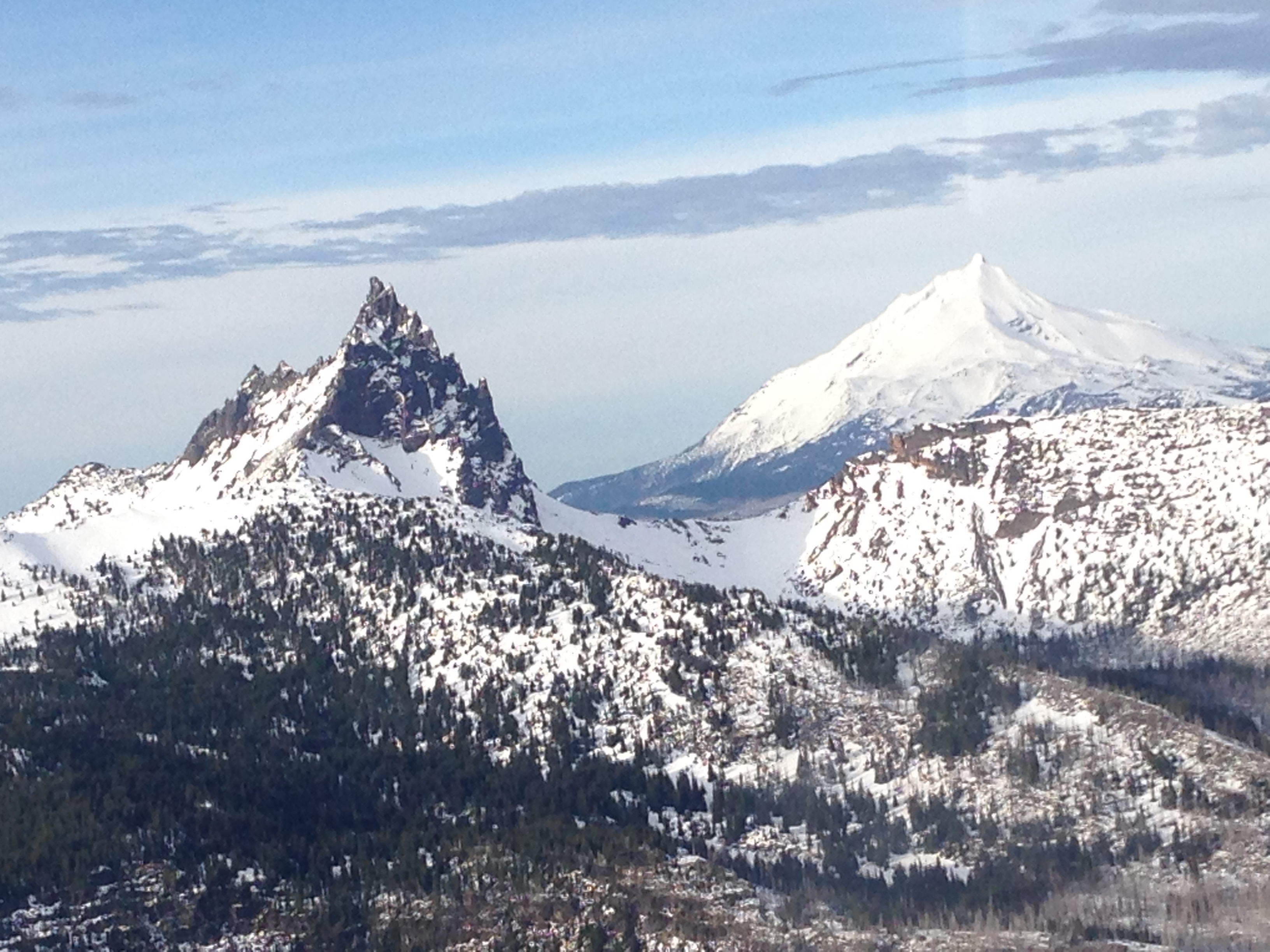
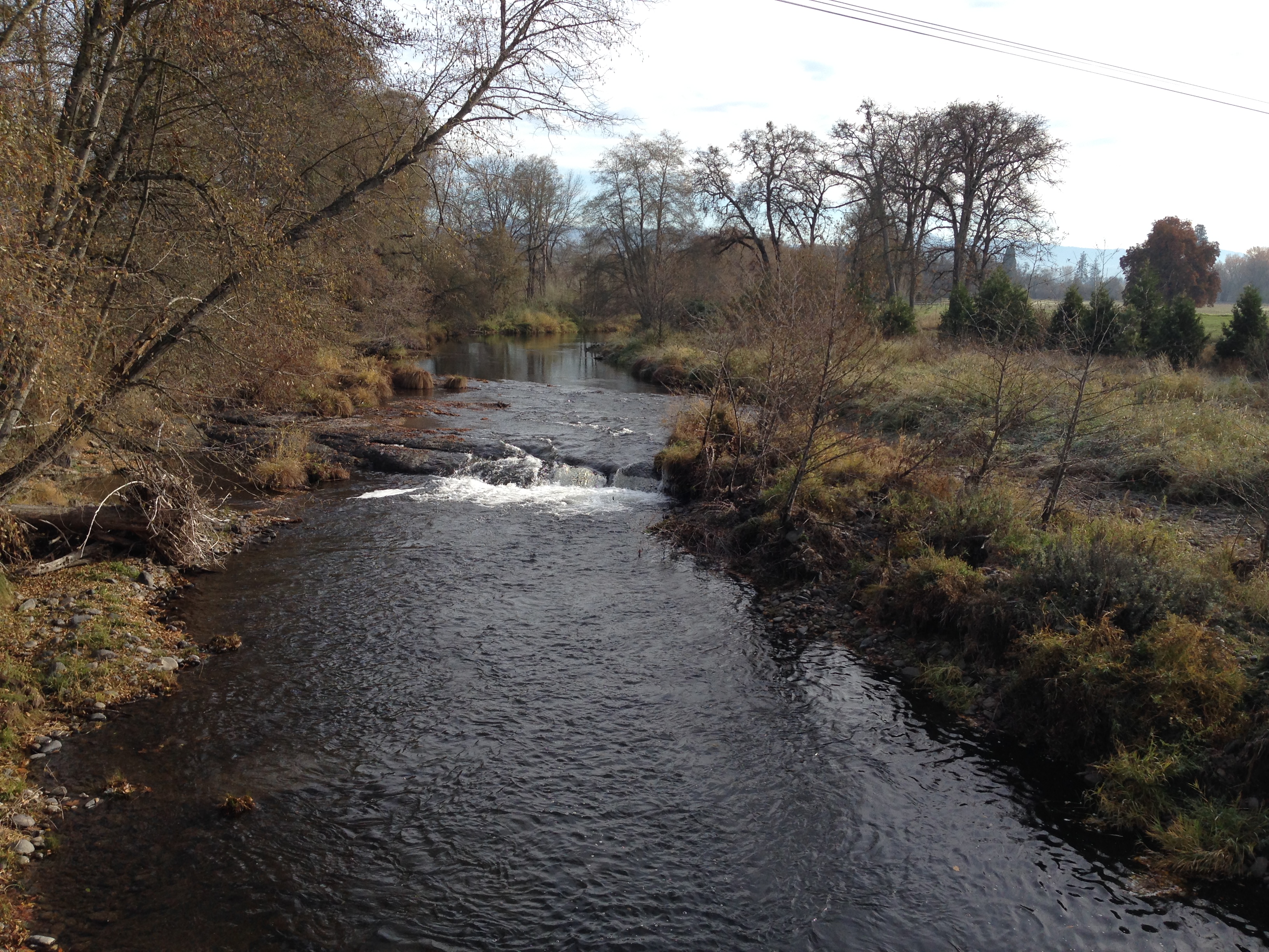
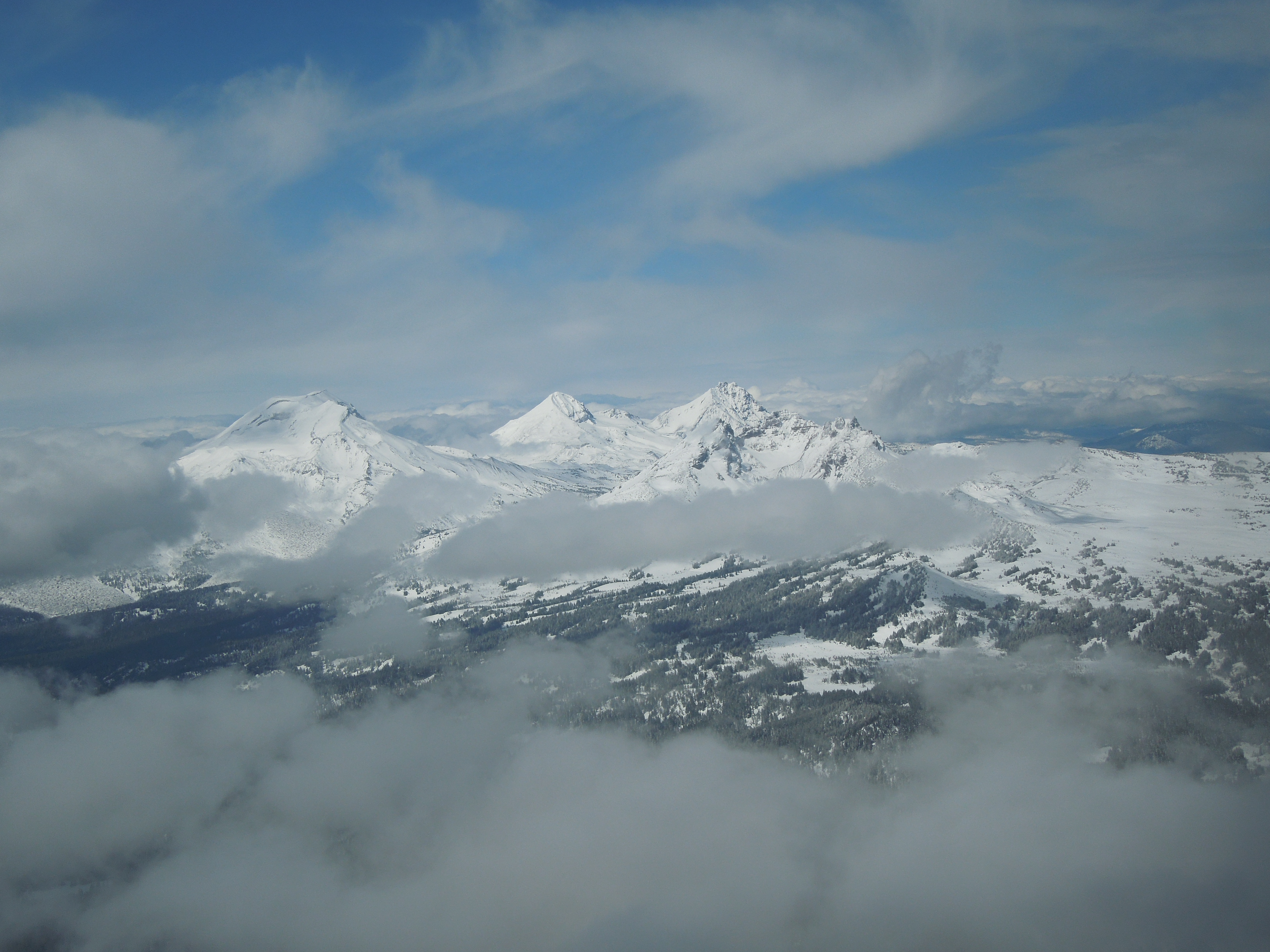
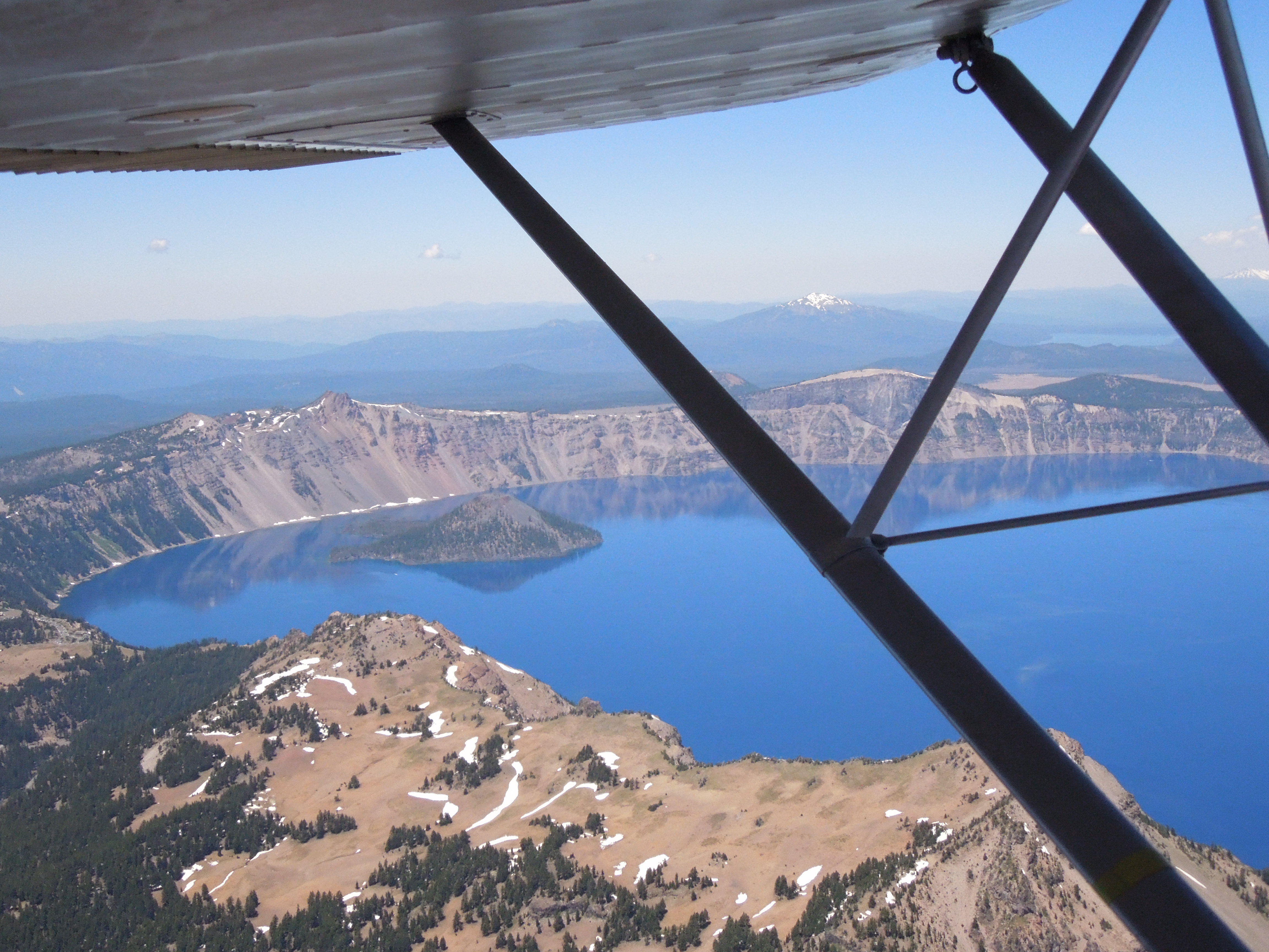
my favorite mountain, Mt Thielsen. You can see Crater Lake as you proceed along and pass just north of the Prospect airport. You begin a very gradual descent
around Lost Creek dam and cruise down into the Rogue Valley and the Medford Airport.
But the air is what changes everything. The air moves. The air carries moisture. Large high and low pressure systems cause the air to flow over the Cascade Mountain range. If that air is laden with moisture, it may condense as it rises up to clear the mountains. That condensation forms clouds that a guy flying a little beater like mine has to avoid. If that air is moving fast enough it may become what we call Mountain Wave. Wave is like a sinusoidal snake. The uplift caused by the mountains doesn’t limit itself to that terrain. Once the undulation starts, it continues as the wind moves along, each area of lift or sink becoming less intense but usually just as smooth. Mountain wave is a glider pilot’s delight. Finding it and cleverly utilizing it can take a glider pilot to dizzying heights requiring oxygen to avoid passing out at those heavenly altitudes.
I’m heading over to Medford with a lot on my plate. I’m going to get together with 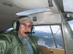 George for some needed maintenance, including the overhaul of those magnetos which have been supplying millions of sparks for the little Continental Engine since I bought the plane several years before. I’m going to meet with my editor about some issues with “Brian’s Flying Book” as well as to herd our next publishing efforts into the stream leading to the publisher and the reader. I’m also going to meet with my old friend, Denis, whose performance as the glider pilot in “Dawn Flight” certainly helped launch my own career as a film maker. Denis and I will begin preliminary

brainstorming about an upcoming project. As riveting as they may be, my upcoming labors are the farthest thing from my mind as I leave Sisters.
Normally the wind socks at Sisters may be ignored. They don’t usually serve the function of determining which direction to take off, contrary to what so many pilots think. Because the air rolls into Sisters after a vertiginous roller coaster ride over the mountains, it is still roiling when it arrives at our little airport. The result is a mess of air which burbles and boils in mostly a crosswind direction, changing constantly, but failing to favor one direction of landing or takeoff from another. In fact, spots on the runway where lift or sink will be found are far more important than wind direction.
This morning is different. I normally select the takeoff runway solely on its suitability for subsequent actions on my part if the engine should fail on takeoff. That’s why I almost always take off on runway 02. It runs downhill. Right off the departure end there is a small ridge with homes and trees. A struggling, underpowered airplane would have trouble clearing that ridge and it serves to con most pilots into choosing the opposite runway for their departure. They don’t see the river bottom which runs right past the departure end of runway 02. A steeply banked turn in an airplane which has been kept close to the ground on takeoff so as to increase speed and “G” available is, in my opinion, an extremely safe departure. It takes me around the last house along the airstrip and then along the riverbed as I leave the airport and climb over lovely pastures where I can easily set the ship down if its little engine should stop producing that motive force. I like that route a lot better than taking off in the same crosswind but uphill with nothing but downtown Sisters to land in if the engine should quit.
But today it’s clear to me that the takeoff should be made toward town. For the first time in weeks, the wind is definitely racing down the runway with both windsocks standing straight out and screaming, “Use two-zero!”
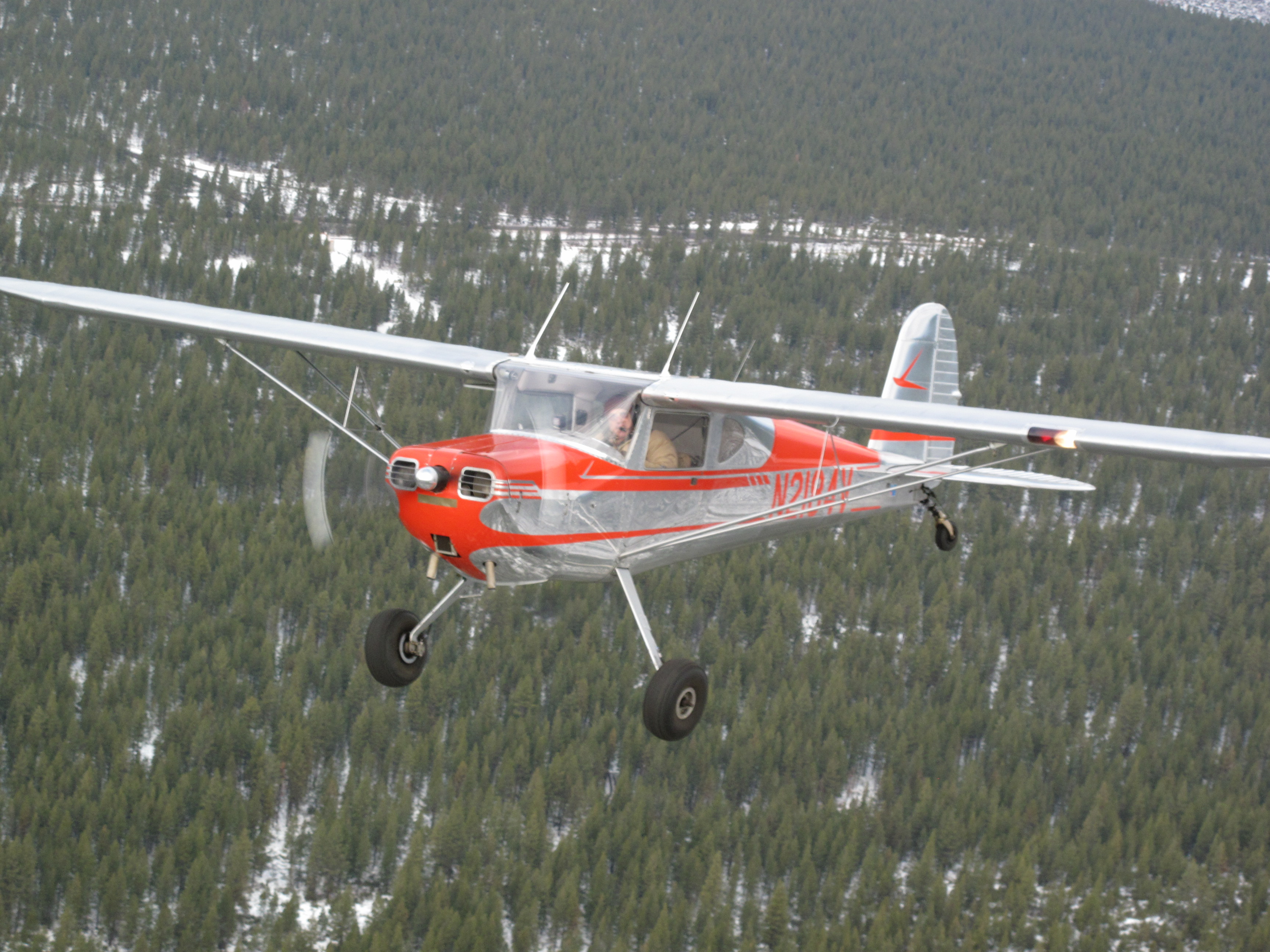
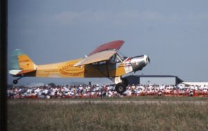
The little Cessna 140, at its maximum gross weight with fuel and tools, is airborne well before the halfway point. The air is pretty smooth, too and I’m thinking that this is okay, as I climb slowly to a point above the highest treetops. And then I get the crap kicked out of me. Full aileron deflection is required to keep the plane right-side-up as we climb into severe turbulence. “Duh”, I guess I should been smart enough to realize that the cousins of the air molecules causing the windsocks to stick straight out would also be burbling with kick-ass alacrity across my route. “I guess I won’t be trying to drink any of the coffee in my thermos”, I thought as I worked my butt off just to stay on course with the wheels pointing down and the skylights pointing up. I was resigned to having my butt kicked all the way to Medford, but the weather gremlins had other tricks up their sleeves. They were probably snickering as they watched the little Cessna jerk and lurch along its selected route.
By Sunriver the turbulence has abated. Almost seamlessly my little ship and I are hoisted up. I breathe a sigh of relief as I realize that I am in the transparent half of a low-lying mountain wave. But I can’t ignore the irony: “Oh, sure”, I grouse. “When I was flying gliders out of Sunriver I never found wave. Now that I no longer need it, here I am, going up 2,500 feet per minute in a plane that’s as heavy as it can be!” I get over it. At first I’m jubilant to be in all this amazing lift and I even chortle confidently as I pour myself a nice, hot cup of coffee from the thermos. But then I check the groundspeed. Forty five miles per hour. Holy crap!
“No sweat”, I cleverly mutter. “I’ll just lower the nose and haul ass…” I lower the nose until I’m indicating about 120 on the airspeed indicator. Pretty good for a 140. But the groundspeed has only increased to about 60.
I decide to relax and enjoy the experience and study the weather. I’m just fine on time; I’ve got lots of fuel. I think of the woman in the frame shop in Florida a few years before. Everyone in there was Southern, their accents rich and just filling the small shop with a culture as rich as mint juleps, beignets and pecan pie. The poor woman just needed to drop some work off and get on to her errands. Out of the corner of my eye, I saw her shift her weight from one foot to the other. No one in front of her seemed to have anything important to take care of, but they were in front of her and keeping her from her errands. Finally, she had enough. “I’m sorry, I don’t mean to be ‘Northern’ but can I just drop this off with you so I can be on my way?”
I understood her perfectly. And, like the woman in the frame shop, I decided that I would not be “Northern”. I sat back and set to my own task of navigating my way through wave, clouds, headwinds and terrain. My route was designed to keep me somewhat safe in the event that I was forced by mechanical failure to tumble from my perch. I’d followed highway 97 this far, but I needed to bear right and go more directly to Medford. A route that took me just North of Crater Lake, then past Prospect and into the Rogue Valley was the safest and that was what I would pursue.
On a clear day, I would navigate my way pretty much by the “Rocks in the Creek” method. I would fly from one emergency landing place to another. If I spotted a particularly good one, I’d average my desired course with a course to it. I’d stay within easy gliding distance of it. I’d keep track of it as it receded behind me even as I sought out the next spot. Once within gliding distance of it, I’d repeat the process. Not today.
Today I could spot the terrain below, but the clouds and mechanically induced turbulence dictated my course more than the land did. Years ago, I remember ol’ George commenting that a professional pilot simply has to stick his neck out sometimes and depend on that engine. I was doing that now, often forsaking the search for landing spots in favor of smooth air and a route between cloud canyons that would get me to my destination. At no time during this phase did my groundspeed get above seventy-five miles per hour. My radio had been largely silent. I’d monitored Seattle Center, but I didn’t use flight following. I guess I figured that I didn’t want to advertise my occasional skud running or have to answer the question, “Cessna Eight Four Victor, do you see the terrain ahead?”
Below, I could just make out the big straightaway that takes drivers from highway 97, up Highway 138 and past Crater Lake. It was at that point that I realized I just couldn’t out-climb the clouds. As much as I lusted after that smooth ride on top, it would be safer for me to go underneath. Down I went, until I could see the route more clearly from my slow-moving perch at the cloud bases. I never saw Crater Lake. It was obscured, but my altitude and visibility were pretty good and I don’t think I could be accused of “skud running”.
I think there were only four or five other aircraft talking to Seattle Center as I crossed the Cascades and as I reached Lost Creek dam, the clouds began to thin. The turbulence decreased. My groundspeed increased. “Oh, sure,” I muttered, “NOW the groundspeed increases when I’m practically there!”
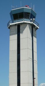
I end my radio silence. Instead of monitoring Seattle Center, I switch to Cascade Approach and give them a shout. They give me a transponder code and ask me to ident. As I push the little red button on the transponder, a blossom erupts on a screen in a darkened room in Eugene, verifying that it’s me on that large cathode ray tube. “Radar Contact”, I’m told. The approach controllers hold my electronic hand and funnel me toward Medford.
The family farm appears up ahead and sweeps past as I’m told to contact Medford